New mapping shows history of Columbia River Gorge landslides
Published 1:30 am Sunday, November 27, 2016


By Dameon Pesanti
The (Vancouver) Columbian
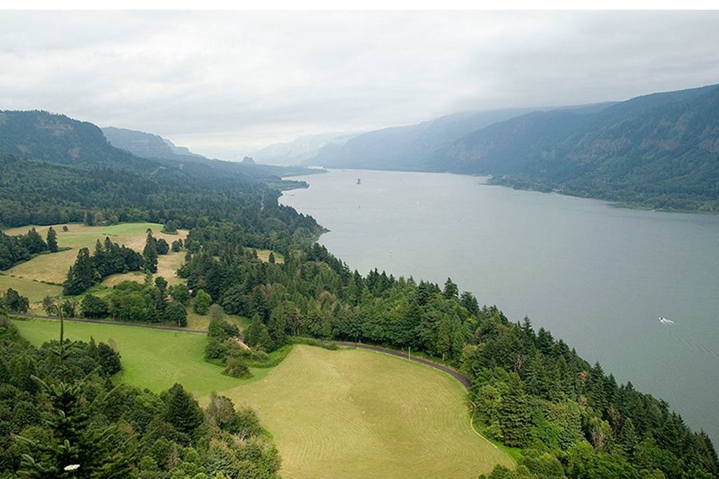
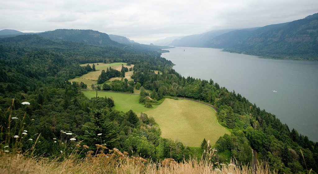
VANCOUVER, Wash. — The Columbia River Gorge is famous for sweeping dramatic vistas, but new research published by the U.S. Geological Survey reveals a shifting landscape beneath the forest.
Three researchers with USGS mapped a history of 215 different landslides across 64 percent of a 86-square-mile area between Prindle and Carson in Skamania County, reported The Columbian.
“I think most of us think about the Earth being pretty static, but depending on the time scale you’re looking at, it’s all really dynamic,” said Thomas Pierson, a research hydrologist at the Cascades Volcano Observatory in Vancouver.
The landslides have occurred over a broad time line. About a fifth of the slides the researchers observed are more than 1,000 years old. Around a dozen occurred in the last two decades or are currently moving.
A foot per year
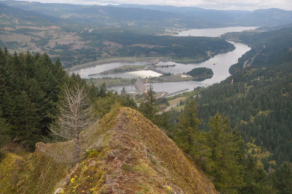
One of the slides Pierson and his study co-authors Joseph Bard and Russel Evarts identified is just a little upriver of Bonneville Dam.
It’s more than half a mile wide and just under 5 square miles in area, and has slid southeast toward the Columbia River at rate of about a foot per year over the past several decades.
The Bonneville Power Administration has transmission towers near the slide, but Pierson said they haven’t been moved.
In an email, BPA spokesman Kevin Wingert said, “We have an active program that monitors a number of transmission towers for movement associated with slow-moving landslides both in the Columbia Gorge and elsewhere. When warranted, we go in and fix or move the structures.”
One of the largest slides the scientists discussed was the Bonneville landslide, which slid rapidly into the Columbia River within the past 600 years. That slide temporarily dammed the river and formed the “Bridge of the Gods” known in Native American oral histories, according to the release.
The western Gorge’s steep terrain, frequent rainfall and geologic structure make it a well-known landslide-prone area, according to a news release on the study.
Those same features, and the thick forest that covers them, also make it difficult for scientists to accurately map old and currently active landslides using traditional methods.
But using lidar, a surveying technology that uses lasers to measure distances, the researchers were able to map the landscape through the vegetation and down to the Earth’s surface.
“These are bare-earth images revealed in an amazing amount of detail,” Pierson said. In those details he saw offsets, cracks, ridges, bulges and toes — all evidence of landslides beneath the forest.
The landslides were then mapped by combining the lidar images with inSAR, an imaging technique that detects subtle ground movements with satellites, GPS, tree-ring dating, historical field records and other tools.
Most of the landslides show evidence of more than one movement, which, the news release says, shows that old landslides can reactivate.
Pierson said the area they studied is prone to landslides because the underlying bedrock tilts to the south between two and 10 degrees.
On top of that are layers of clay-rich sands, gravel, and volcanic flows of different ages and consistencies — all of which are stressed by water.
“Our assumption is, there’s a bunch of weak zones within the layers,” he said.
“The broken-up rocks are good at allowing water to soak in. The water causes weatherizing, and you get a conversion from hard brittle volcanic rocks to oxides and clays — things that don’t have the strength the original material had.”
Pierson decided to examine the terrain in the Gorge after a 2007 landslide that would have sent a home into Rock Creek, had the owners decided not to first burn it down.
Due to a lack of funding, Pierson and his colleagues performed the study in their spare time.
Pierson said people living in the area should be cognizant of what’s happening beneath their feet, but not alarmed.
He recommended that people in landslide-prone areas consult engineers and geologists before building. He also urged caution when excavating around slopes and to be sure water drains away from a property.
“We just wanted to make people aware of the situation and not cause them to panic,” Pierson said.