
Late-season snow dropped on lower elevations of the North Olympic Peninsula on Tuesday, only 24 hours after a windstorm caused power outages and downed trees across the region.
Between 1 to 3 inches of snow coated grass, lake docks and trees in the West End, and snow fell in Port Angeles at elevations as low as 150 feet.
More snow is expected today during the early morning hours, said Johnny Burg, meteorologist for the National Weather Service in Seattle.
In Forks and Neah Bay, the additional snowfall will melt quickly and probably won’t accumulate much, he said.
An inch of snow is possible south of Port Townsend, and there may be 2 to 6 inches of snow in the Hood Canal area, Burg said.
Snow is not expected below 1,000 feet in the areas around Port Angeles and Sequim, he said.
Burg said lower-elevation March snowfalls are not uncommon, but snow with accumulation is rare.
Temperature norms
Colder- and wetter-than-normal temperatures are expected to remain through March and April, but normal temperatures should return by May and June, Burg said.
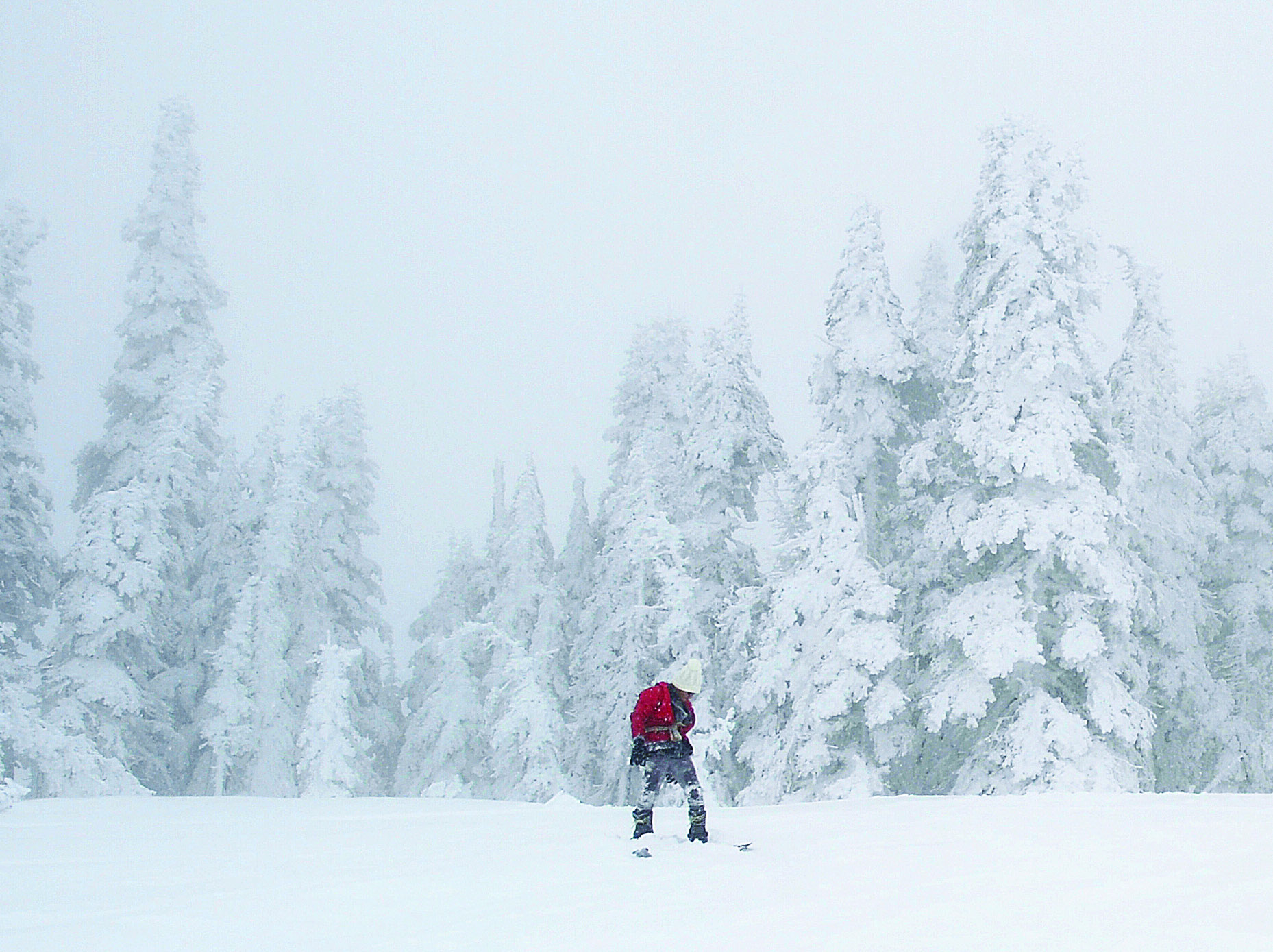
The road to Hurricane Ridge was closed Tuesday because of drifting snow and poor conditions.
About 2 feet of snow fell on Hurricane Ridge during the storm, resulting in high avalanche danger around the popular snow recreation area, Olympic National Park said.
As of Tuesday morning, 129 inches of snow were measured at Hurricane Ridge.
Another storm is expected to arrive early today and add another 16 to 24 inches to the snowpack.
A winter storm watch was issued for the Olympic Mountains today and Thursday by the National Weather Service.
Heavy snow is expected in the mountains through Thursday.
________
Reporter Arwyn Rice can be reached at 360-417-3535 or at arwyn.rice@peninsuladailynews.com.
