Tsunami advisory prompts Peninsula to watch for waves
Published 1:30 am Saturday, January 15, 2022


A tsunami advisory for the entire West Coast led to public safety mobilization on the North Olympic Peninsula but no reported high water after an underwater volcano exploded near the Pacific nation of Tonga on Saturday.
The U.S. Geological Survey estimated the eruption caused the equivalent of a magnitude 5.8 earthquake. Scientists said tsunamis generated by volcanoes rather than earthquakes are relatively rare.
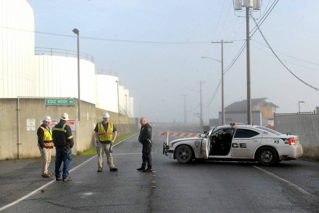
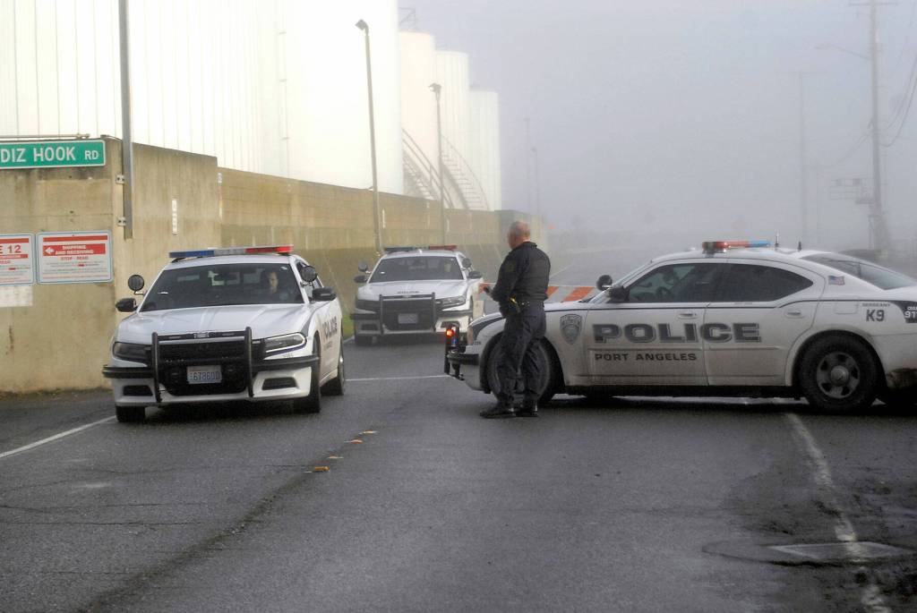
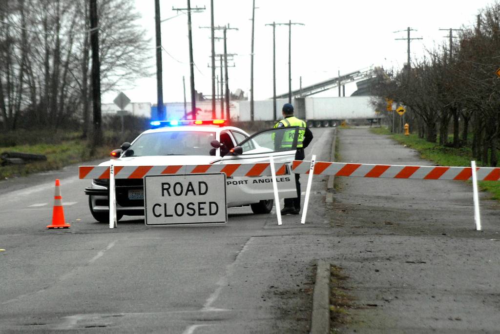
The Clallam County Emergency Operations Center was activated on Saturday morning after a tsunami advisory was been issued for La Push, Neah Bay and the entire U.S. West Coast as well as Port Angeles and Port Townsend on the Strait of Juan de Fuca.
By the afternoon, personnel had returned home and were monitoring the situation virtually, including through hourly meetings with state experts, said Clallam County Undersheriff Ron Cameron. By 4:30 p.m., the advisory for Oregon and Washington had been lifted.
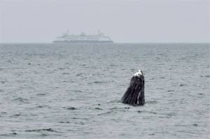
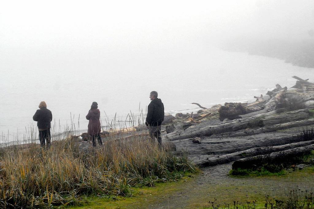
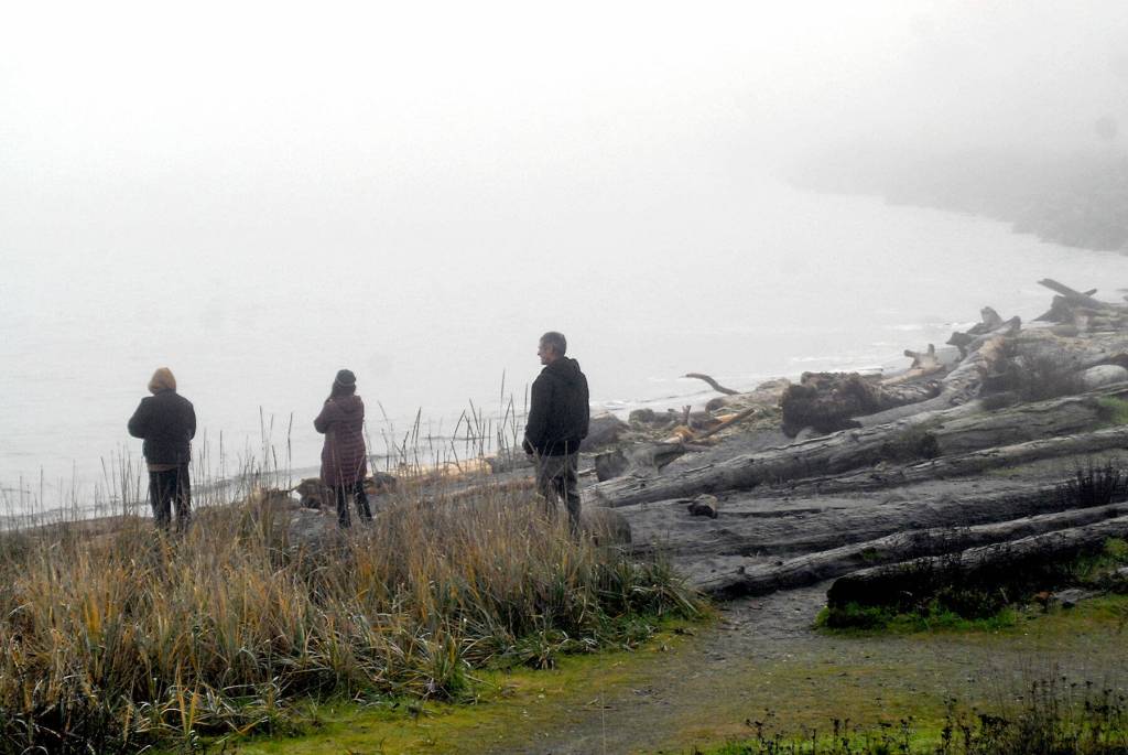
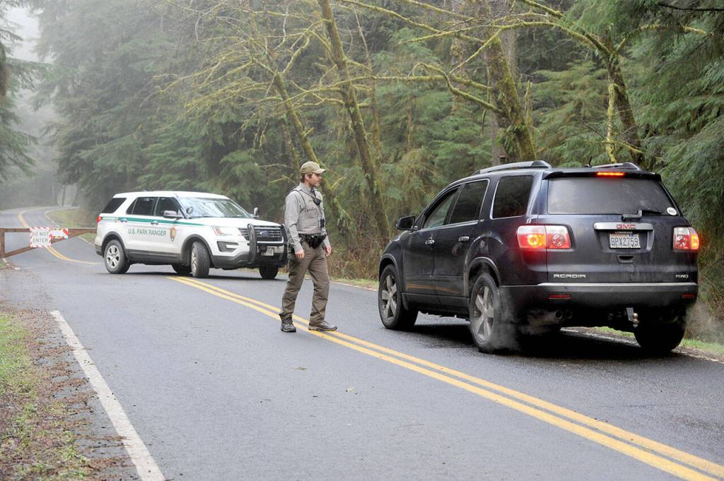
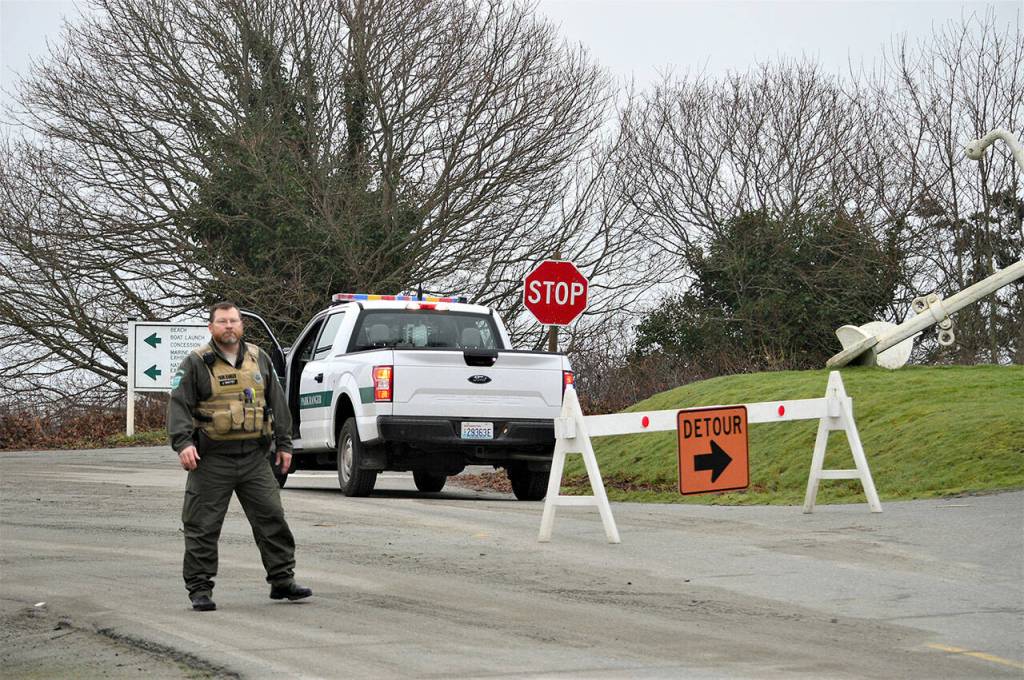
Public safety personnel had closed entrances to low-lying places, such as Ediz Hook and beaches near La Push. People lined bluffs to watch for tsunami waves in both Clallam and Jefferson counties, and surfers hoped to catch large waves off North Beach in Port Townsend.
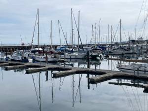
Some boat owners elected to take their vessels out to sea from marinas to “just ride it out,” Cameron said.
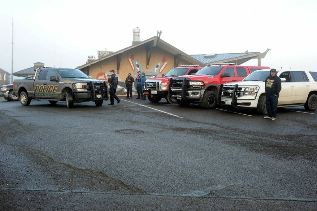
The Quileute Tribe advised 15 to 20 people living in its lower village at sea level to evacuate “out of an abundance of caution” on Saturday morning, according to Clallam County Undersheriff Ron Cameron. Some 116 guests and staff of the Oceanside Resort also were evacuated to the Akalat, said Jackie Jacobs, Quileute spokesperson.
Evacuations were not recommended by emergency management authorities, Cameron said.
By 5 p.m. Saturday, the coast from San Diego, Calif., to the California-Oregon border remained under a tsunami advisory. Waves can continue to come in long after the incident that sparks them but widespread inundation was not forecast by the National Weather Service. However, authorities wanted to ensure that people knew to stay off the beaches and out of the water because of strong currents.
Already by about 9 a.m., people from Neah Bay to La Push had reported very irregular wave activity, Cameron said.
Wave height was predicted to be well under 3 feet on the North Olympic Peninsula coastline.
The threat appeared to be stronger in Mexico and Central and South America, according to the U.S. Tsunami Warning System at tsunami.gov.
Hawaii had some damage from high water.
The highest waves on the West Coast were were recorded in Port San Luis, California (4.3 feet); King Cove, Alaska (3.3 feet); Area Cove, Calif. (3.7 feet); Crescent City, Calif. (3.7 feet); and Port Reyes, Calif. (2.9 feet), according to the National Weather Service, CNN reported.
The Associated Press reported that crowds gathered at the Santa Cruz Harbor in California to watch the rising and falling water strain boat ties on docks. Law enforcement tried to clear people away when big surges started at about 7:30 a.m.
About an hour later, a surge went over the back lip of the harbor, filling a parking lot and low-lying streets and setting some cars afloat.
For updates, go to https://tsunami.gov/.
The Associated Press reported that the eruption of Hunga Tonga Hunga Ha’apai volcano sent large tsunami waves crashing across the shore and people rushing to higher ground.
The eruption cut the internet to Tonga, leaving friends and family members around the world anxiously trying to get in touch to figure out if there were any injuries and the extent of the damage. Even government websites and other official sources remained without any updates.
Satellite images showed a huge eruption, with a plume of ash, steam and gas rising like a mushroom above the blue Pacific waters. A sonic boom could be heard as far away as Alaska.
Tsunami advisories were issued for Hawaii, Alaska and the U.S. Pacific coast.
“We don’t issue an advisory for this length of coastline as we’ve done — I’m not sure when the last time was — but it really isn’t an everyday experience,” said Dave Snider, tsunami warning coordinator for the National Tsunami Warning Center in Palmer, Alaska.
“I hope that elevates the importance and severity for our citizens.”
Rachel Afeaki-Taumoepeau, who chairs the New Zealand Tonga Business Council, said she hoped the relatively low level of the tsunami waves would have allowed most people to get to safety, although she worried about those living on islands closest to the volcano. She said she hadn’t yet been able to contact her friends and family in Tonga.
“We are praying that the damage is just to infrastructure and people were able to get to higher land,” she said.
Tonga gets its internet via an undersea cable from Suva, Fiji, which presumably was damaged. All internet connectivity with Tonga was lost at about 6:40 p.m. local time, said Doug Madory, director of internet analysis for the network intelligence firm Kentik.
Southern Cross Cable Network, the company that manages the connection, does not know yet “if the cable is cut or just suffering power loss,” chief technical officer Dean Veverka said.
The Fiji-based Islands Business news site reported that a convoy of police and military troops evacuated Tonga’s King Tupou VI from his palace near the shore. He was among the many residents who headed for higher ground.
On Tonga, home to about 105,000 people, video posted to social media showed large waves washing ashore in coastal areas, swirling around homes, a church and other buildings.
New Zealand’s military said it was monitoring the situation and remained on standby, ready to assist if asked.
In Hawaii, the Pacific Tsunami Warning Center reported waves that measured 1.6 feet in Nawiliwili, Kauai and 2.7 feet in Hanalei and Maui. The National Weather Service said there were reports of boats getting pushed up in docks, but the hazard diminished as the morning went on.
The tsunami advisory for the islands was lifted about 11 hours after the eruption more than 3,000 miles away.
In Tonga, a Twitter user identified as Dr. Faka’iloatonga Taumoefolau posted video showing waves crashing ashore.
“Can literally hear the volcano eruption, sounds pretty violent,” he wrote, adding in a later post: “Raining ash and tiny pebbles, darkness blanketing the sky.”
The explosion of the Hunga Tonga Hunga Ha’apai volcano was the latest in a series of dramatic eruptions.
Earth imaging company Planet Labs PBC had watched the island in recent days after a new volcanic vent there began erupting in late December.
Satellite images captured by the company show how drastically the volcano had shaped the area, creating a growing island off Tonga.
“The surface area of the island appears to have expanded by nearly 45% due to ashfall,” Planet Labs said days before the latest activity.
The Hunga Tonga Hunga Ha’apai volcano is located about 40 miles north of the capital, Nuku’alofa. In late 2014 and early 2015, a series of eruptions in the area created a small new island and disrupted international air travel to the Pacific archipelago for several days.
There is not a significant difference between volcanoes underwater and on land, and underwater volcanoes become bigger as they erupt, at some point usually breaching the surface, said Hans Schwaiger, a research geophysicist with the Alaska Volcano Observatory.
With underwater volcanoes, however, the water can add to the explosivity of the eruption as it hits the lava, Schwaiger added.
________
Peninsula Daily News Executive Editor Leah Leach and The Associated Press contributed to this story.