UPDATED — Less smoke in North Olympic Peninsula skies from B.C. fires — new photo from NASA satellite
Published 2:57 pm Monday, July 6, 2015
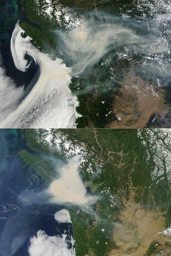
NASA SATELLITE PHOTOS showing smoke from the B.C. forest fires — top photo was taken about 3:30 p.m. today; bottom, taken at about 3:30 p.m. Sunday.
Still smoke in the skies over the North Olympic Peninsula, but certainly not as bad as Sunday as winds break up the inversion layer today.
From the National Weather Service office in Seattle:
Here is the most recent image of B.C. wildfire smoke from NASA’s Terra satellite.
Compared to yesterday’s image, the smoke looks a bit more diffuse with lots of improvement over the northern Olympic Peninsula and some improvement over Seattle.
The San Juans and western Whatcom county look like they currently have the most smoke overhead.